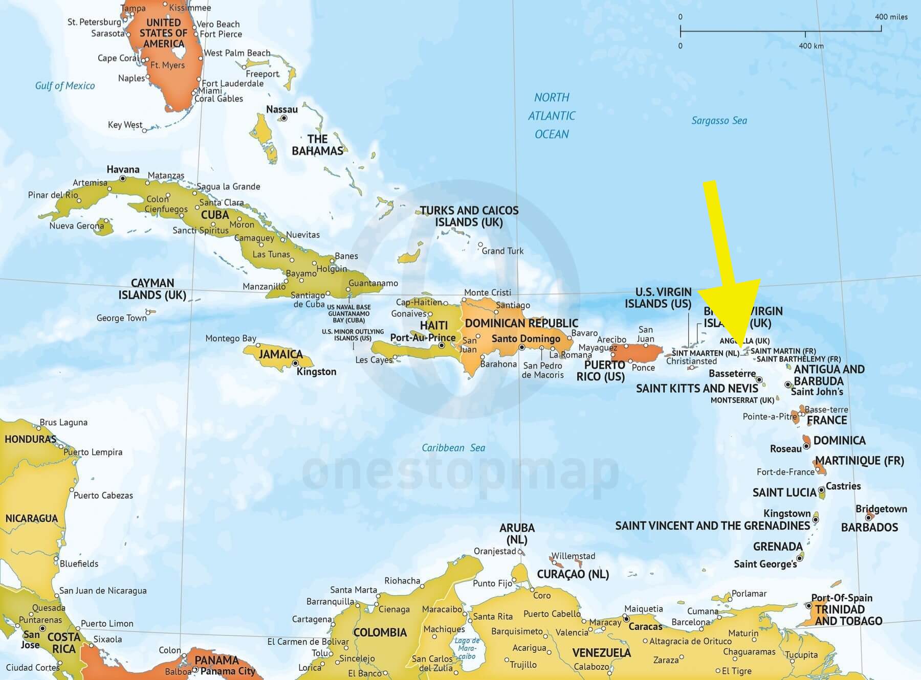
We planned our fifth trip to Saba for November 2016. Very few folks have heard of Saba, which is politically now a special municipality within the country of the Netherlands (it was formerly part of the Netherlands Antilles). Here's a locator.
It's 5 square miles of potentially active volcano and just under 2000 permanent inhabitants.
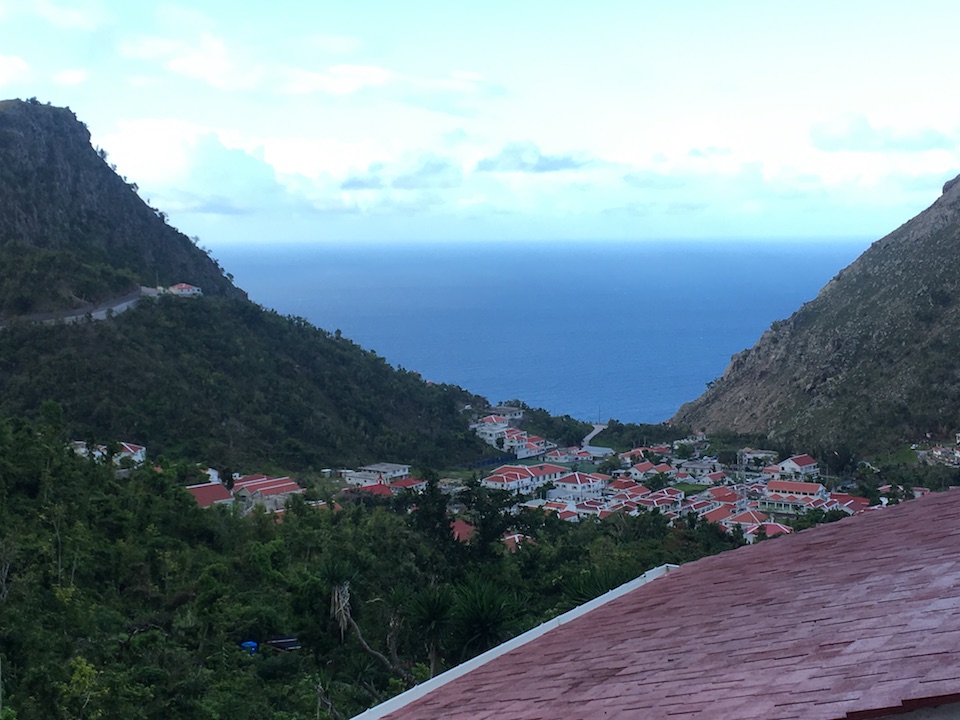
On this trip we were going to be diving with Sea Saba for the first time and staying at Queen's Gardens Resort, the most upmarket location on Saba (other than private rentals), which affords the best food on the island and a very nice view:
We finally made it on our fifth attempt (two medical issues and two hurricanes got in the way). The folks at Sea Saba and Queen's Gardens graciously allowed us to postpone and reschedule (despite their clear wording that reservations were non-refundable).
This was intended to be a nice relaxing trip so I did not take my camera gear (a full suitcase on its own). So all photos are iPhone-taken, which sort of pains me.
It's a very long day of travel to Saba from DC: DC to Miami to Princess Juliana International Airport on Sint Maarten; the Dutch half of the island (the other half is French). The airport was heavily damaged during Hurricane Irma and reconstruction has not yet begun. So the arrivals and departures lounges are large air-conditioned tents. Operations are "interesting" to this point but you'd never know from their website which does not even mention the damage. As you fly in, wide spread destruction is evident with hotels missing roofs and windows. And very few tourists on the beaches. From Sint Maarten you fly 15 minutes on Win Air to Saba.
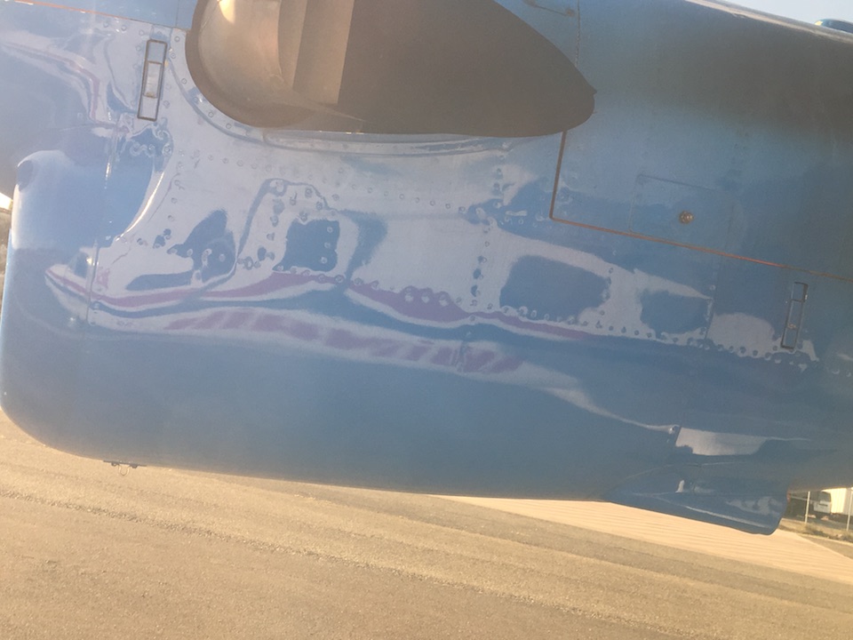
The planes are naturally small but quite pleasant.
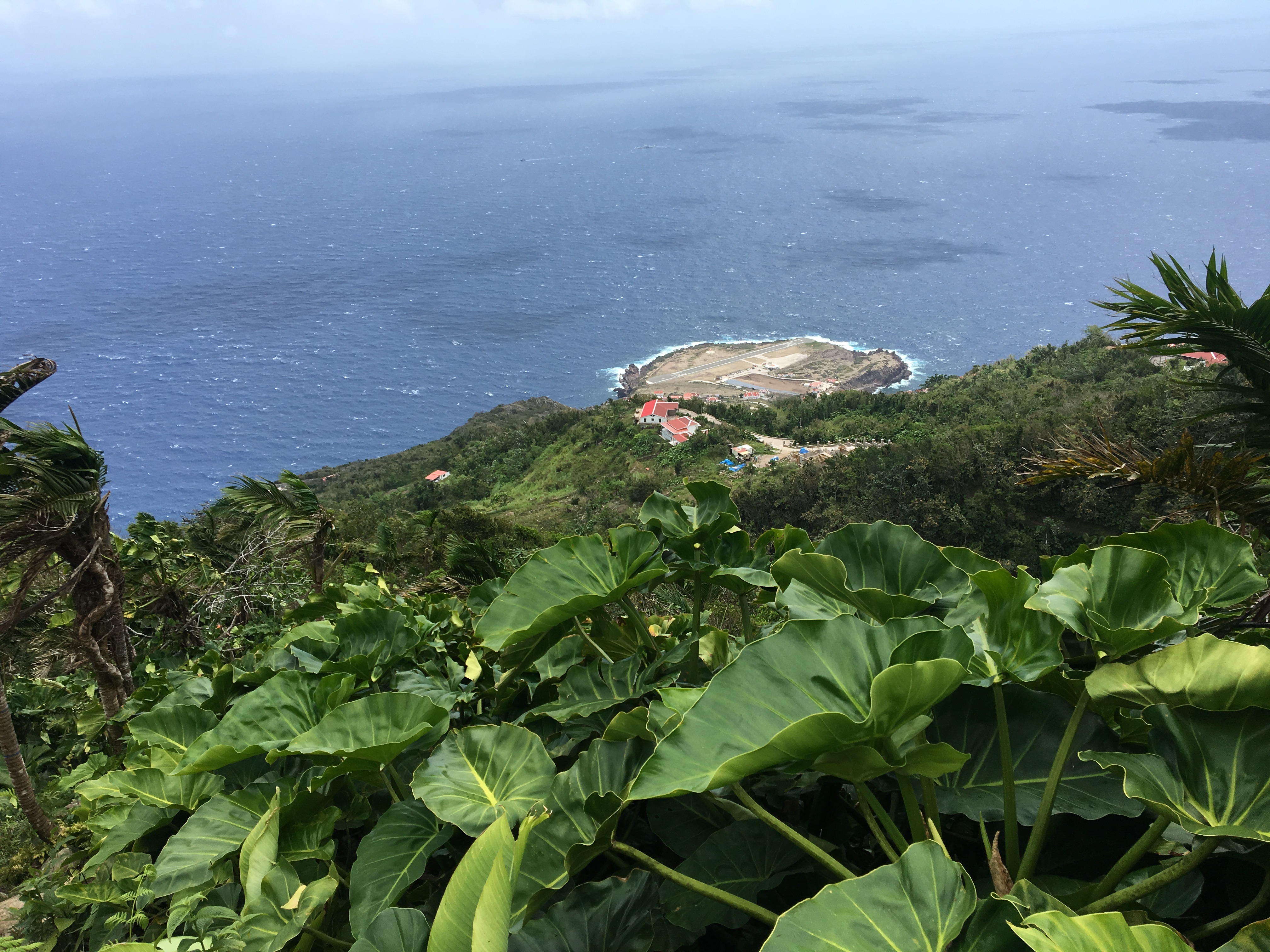
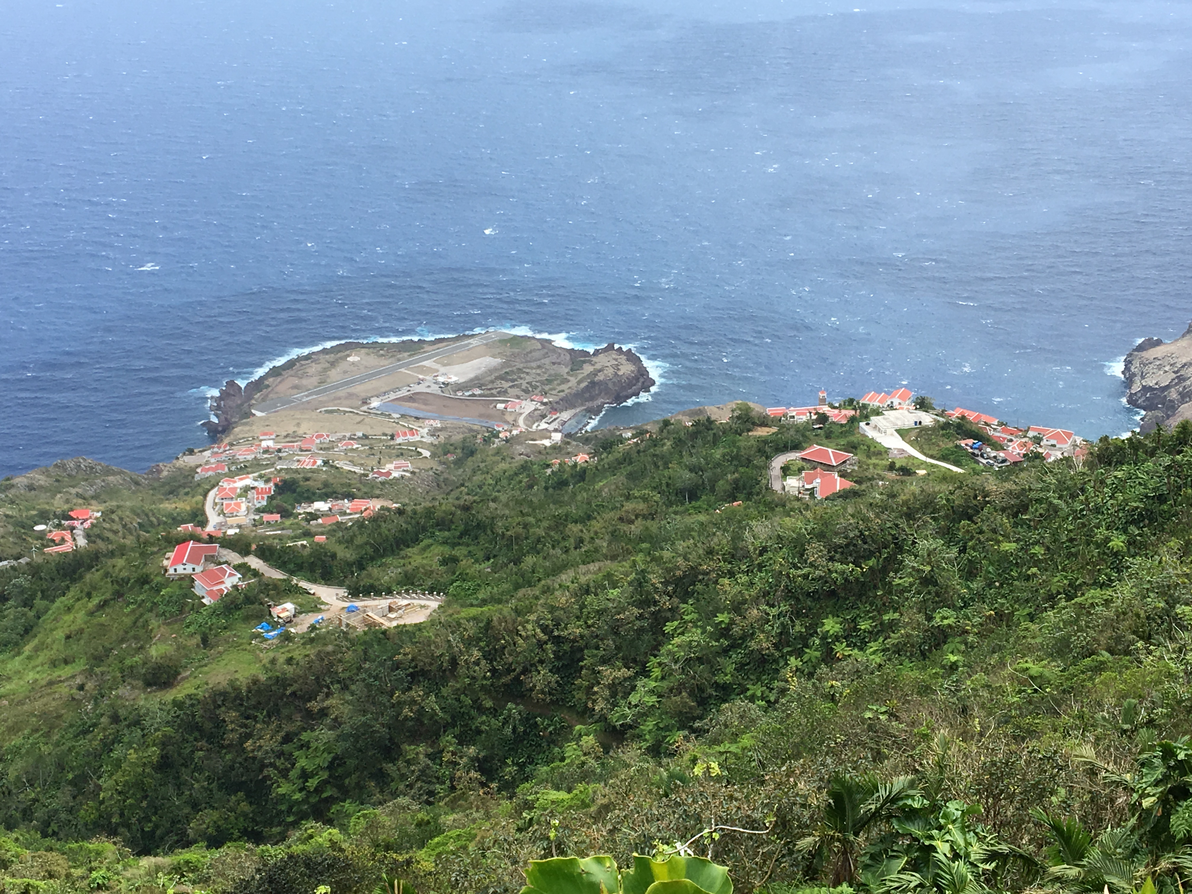
One of the more exciting aspects to the trip is the landing and take off from Saba's Airport, situated on the flattest land on the island. Sabans claim that it is the shortest regularly scheduled commercial runway in the world; it's certainly at least one of the shortest. There are cliffs at both ends.
And here we have a digitally-zoomed video of a plane taking off.
We did have one day of excellent diving during which we visited two pinnacles: The Needle and Man O'War Shoals. The Needle's top is 90 feet deep while Man O' War breaks the surface. Here are two photos of the The Needle to give an idea. That's Val modeling. The visibility was so good we could easily see the bottom over a hundred feet below. (If nothing else, my underwater photography skills have definitely improved.)
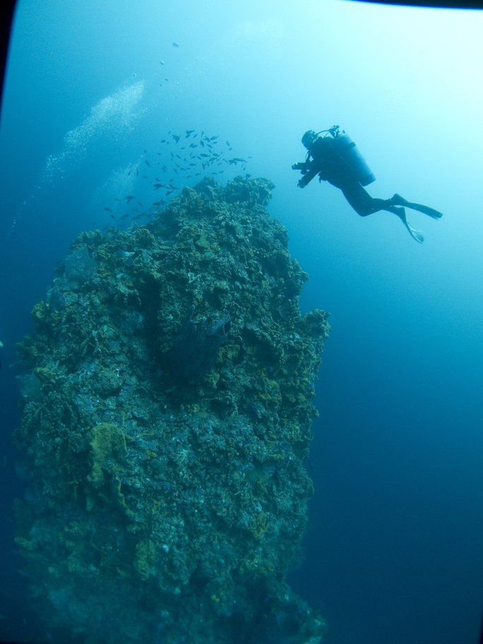
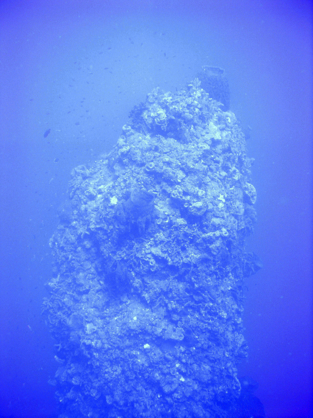
Sadly the giant sponge on top of The Needle seen in the second photograph is gone, whether due to being ripped off by a storm or, rumor has it, by a %^*^(&(*^ who tried to pose inside it, I don't know.
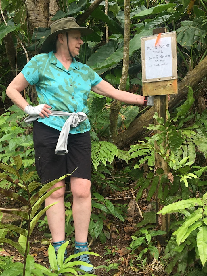
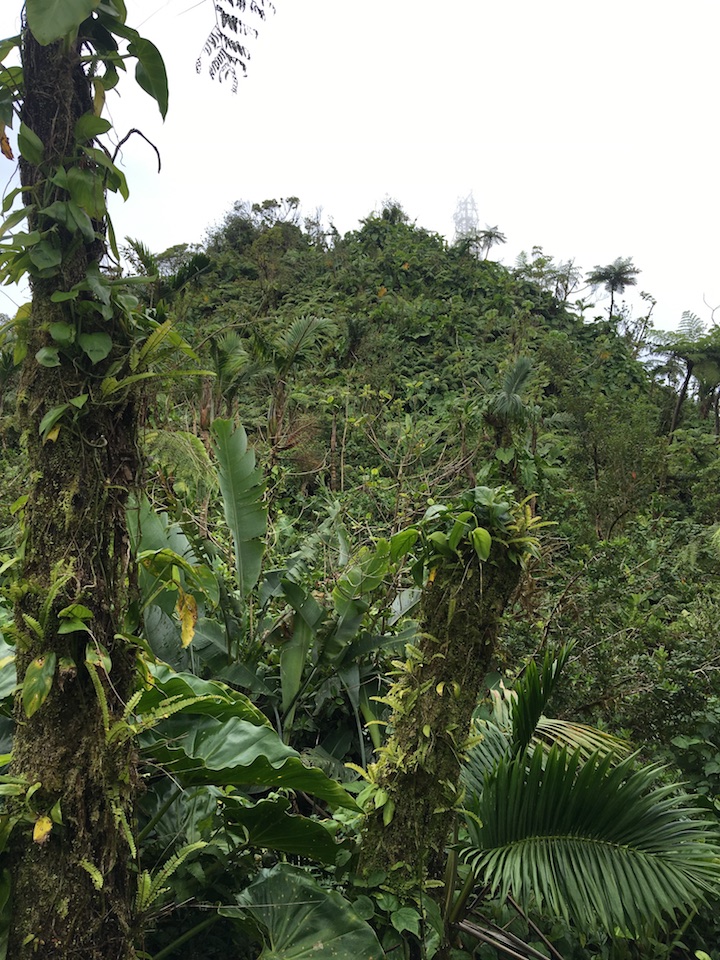
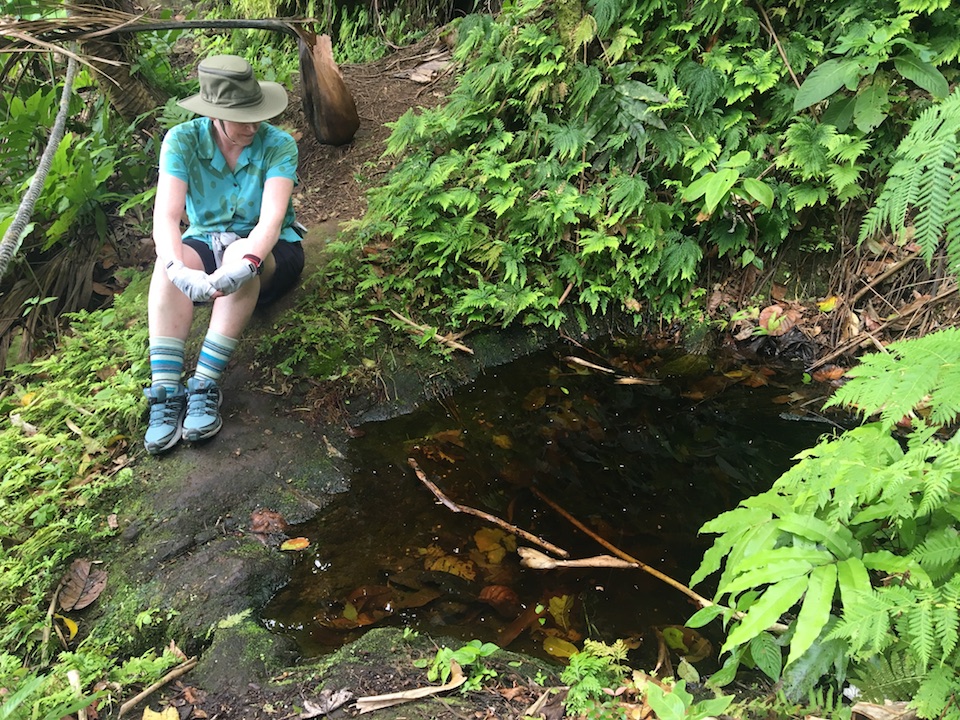
The rest of our days were spent hiking, something we had always wanted to do but diving kept getting in the way. In years past we had hiked the 1041 steps up to Mt. Scenery, at 2910 feet the highest point on the island and in the Netherlands and covered in an elfin rainforest. But much of the island is rain forest and we had always wanted to explore it. So we took advantage of the rough seas and hiked most of the trails maintained by the Saba Conservation Foundation.
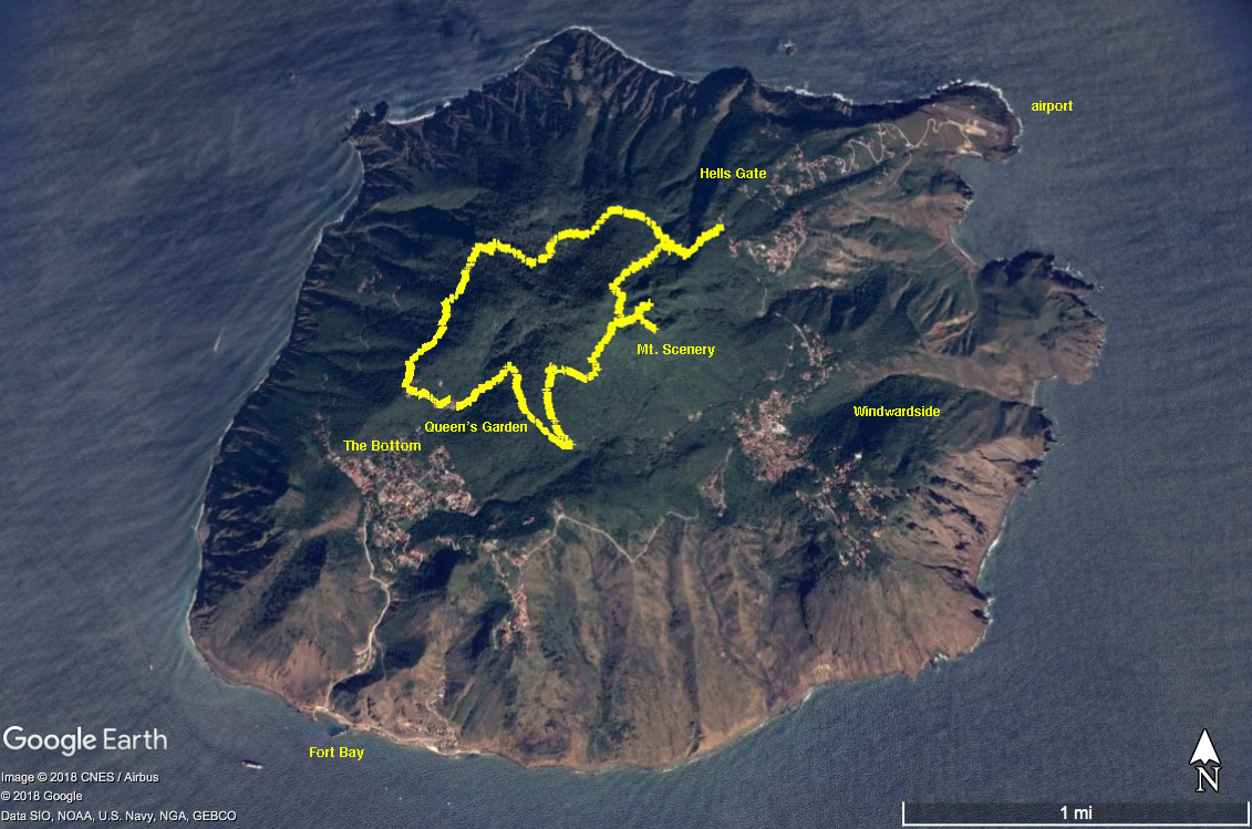
Here's the island of Saba with our hikes mapped. The airport is on the only flat land upper right and you can see the road climbing up to Hells Gate, then through Windwardside on the lower right, then across the southern end of the island and down into The Bottom on the lower left which is where we stayed. Down from The Bottom is Fort Bay where there's a small harbor. Saba is under two miles across and rises from sea level to almost 3000 feet so is almost entirely hilly. Makes for much up and down while hiking.
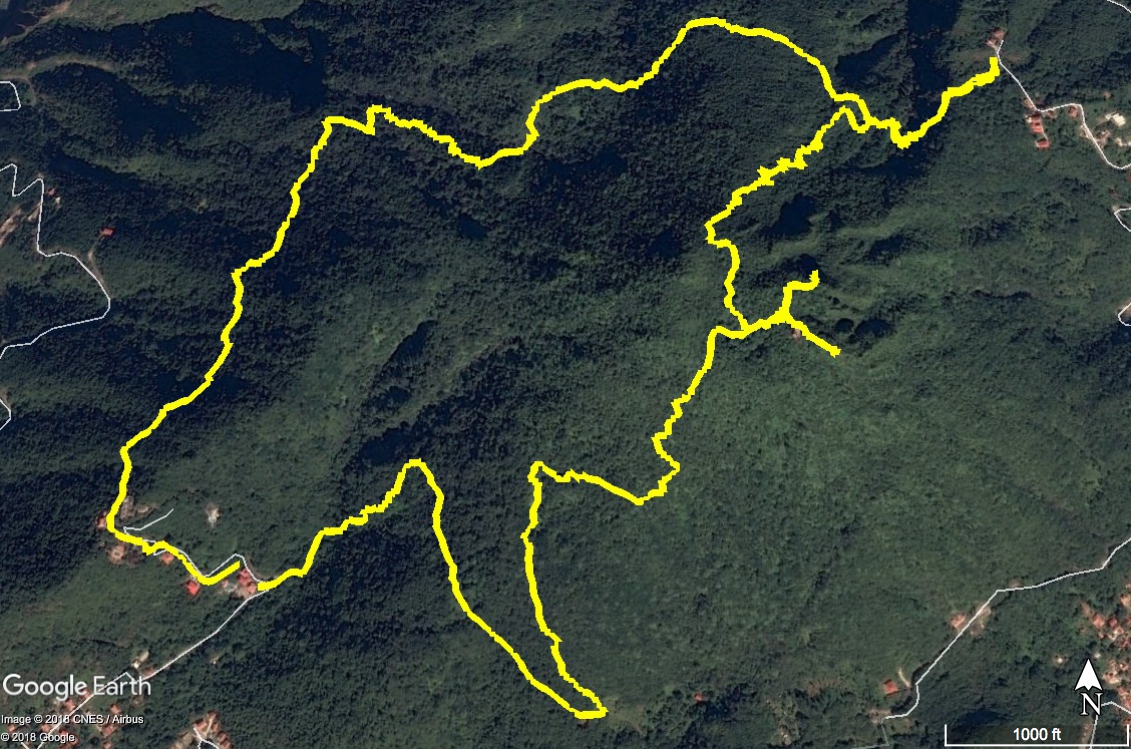
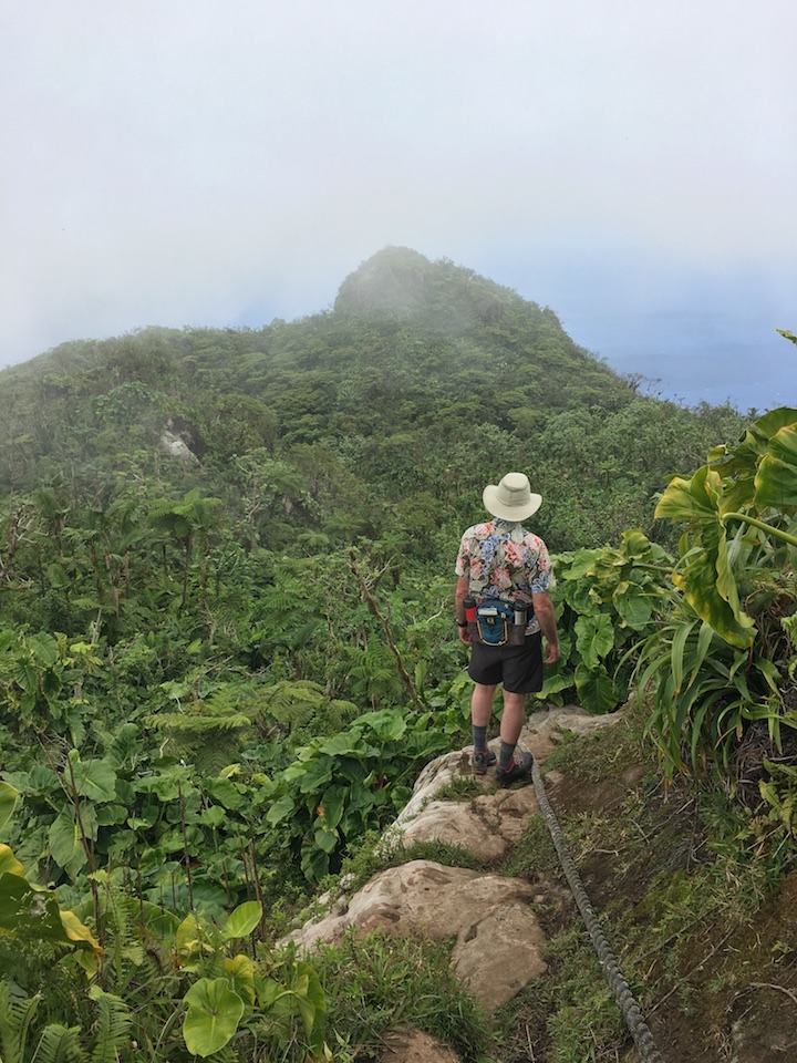
And here's more detail. The trails are nicely developed with plenty of steep up and down and clambering on rocks. There are spots where ropes are tied alongside so that you can pull yourself up or ease your way down. To the upper right is Hells Gate. A taxi would drop us off there for hikes back to our hotel down at the lower left. Our last hike, the lower track in the figure, took us to the top of Mt. Scenery (the forked path). You can barely see the radio tower just to the left of the lower fork.
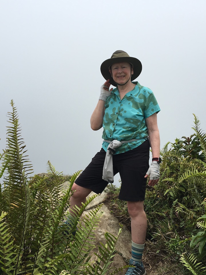
We begin a hike
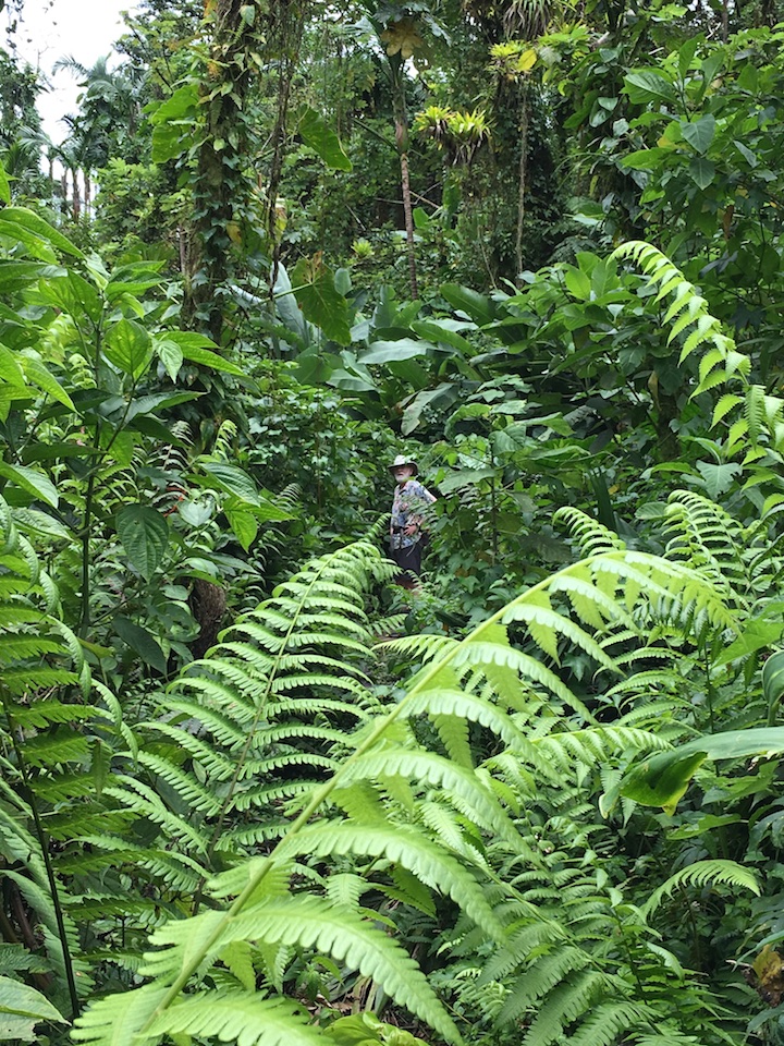
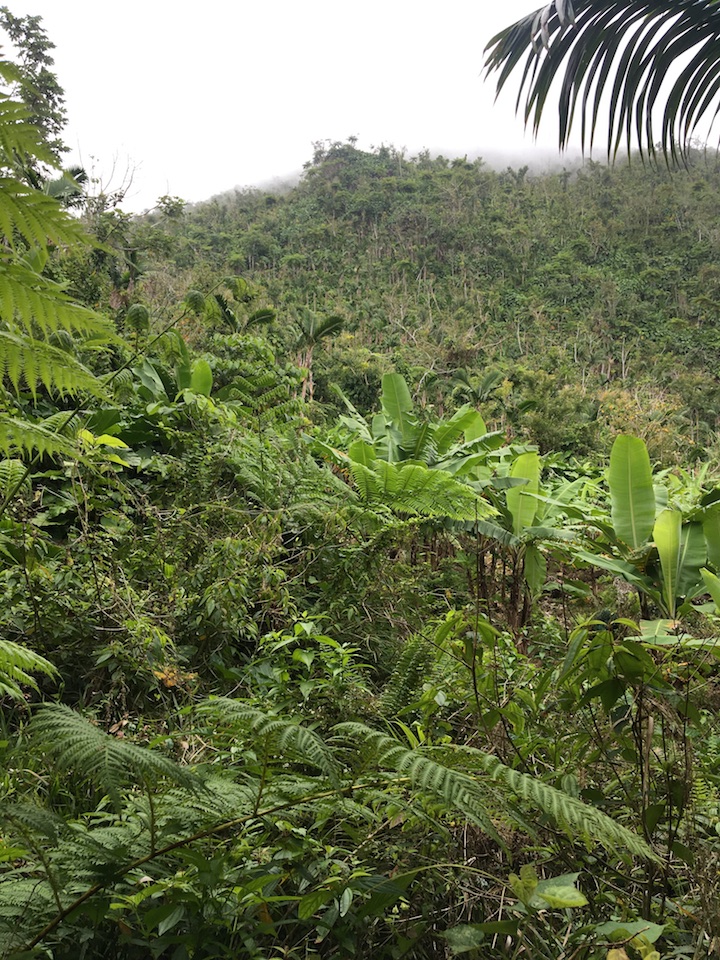
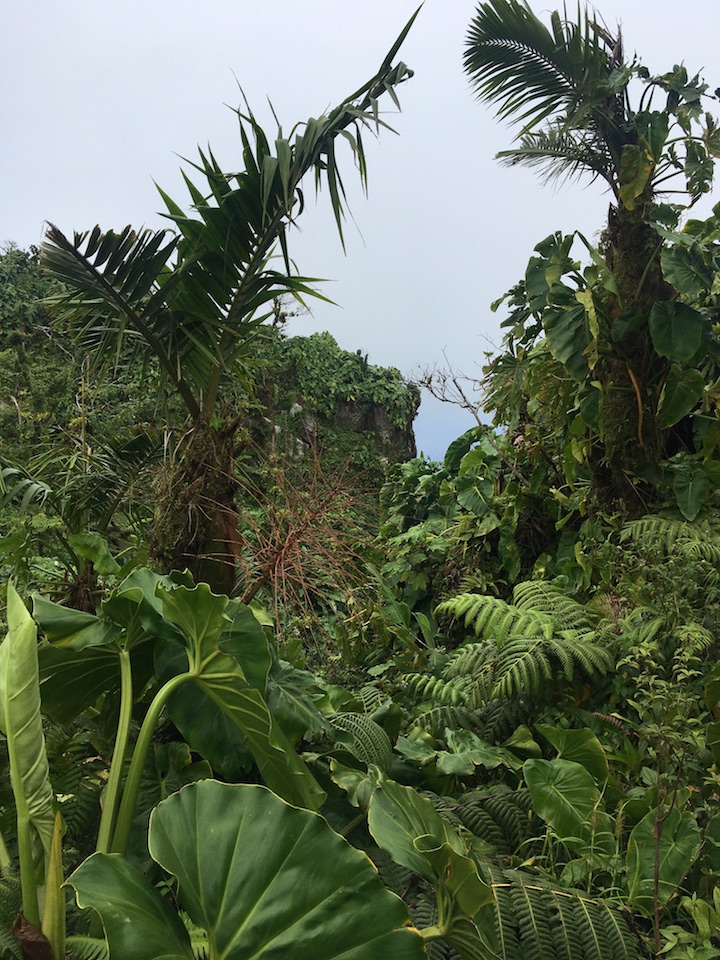
and are quickly enveloped in rain forest
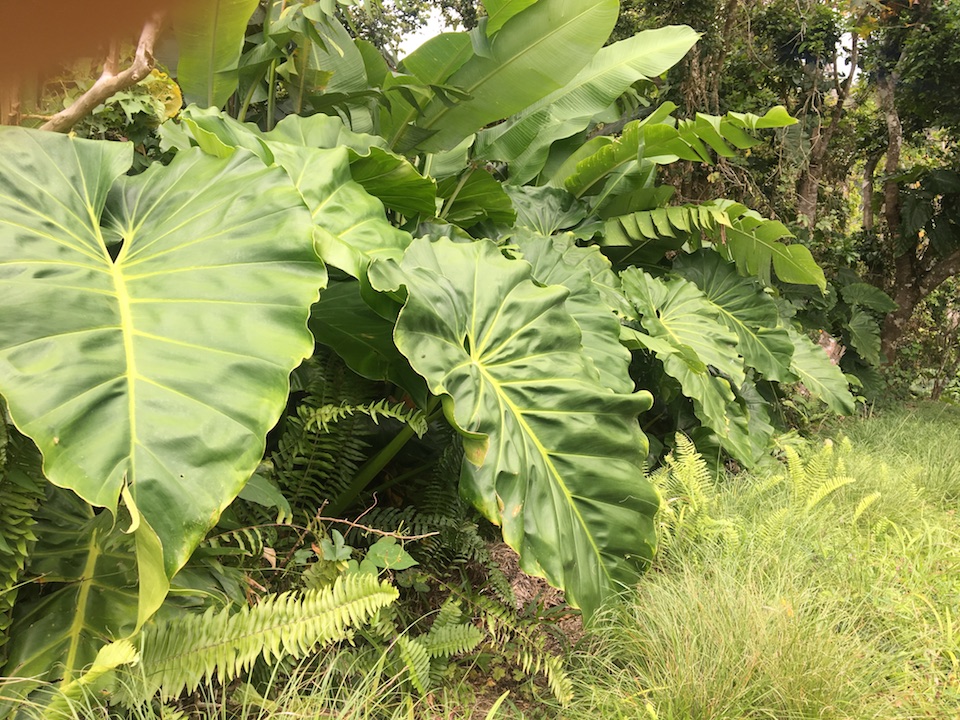
and house plants gone wild
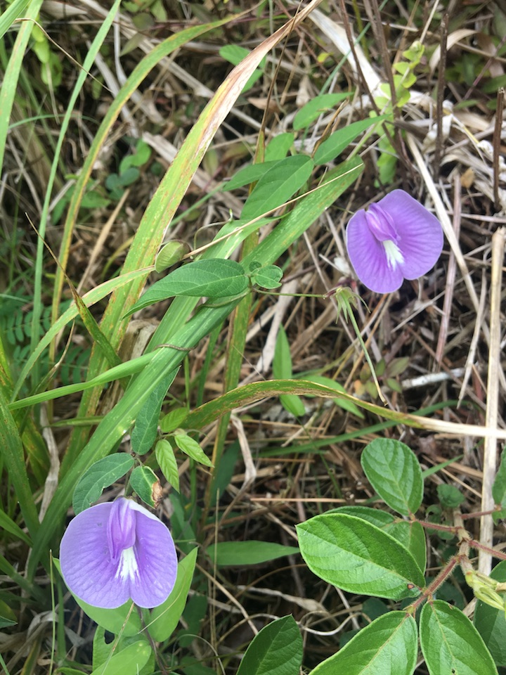
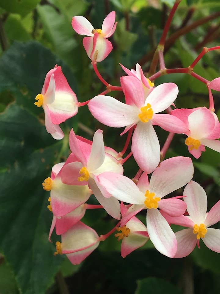
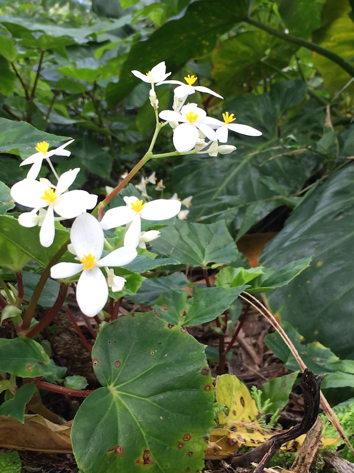
The flowers are not profuse. Although orchids are native, the only orchid flowers we saw were at our hotel. But there were others.
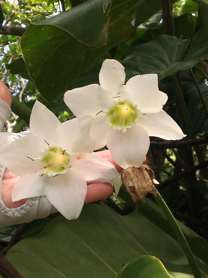
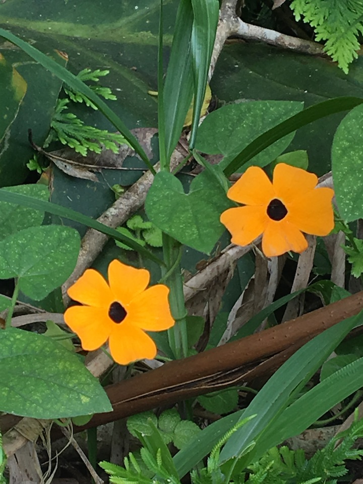
And the national flower, the Black-Eyed Susan.
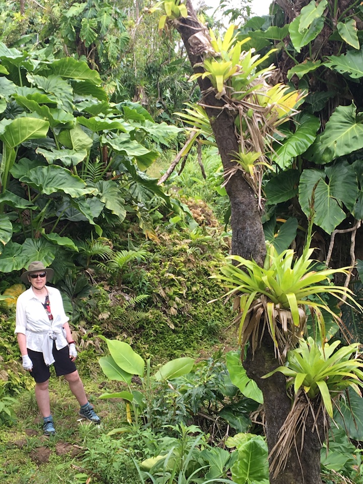
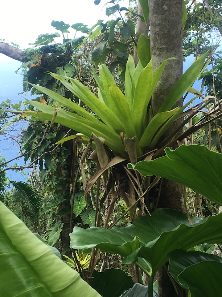
And many many epiphytes as you would expect in a rain forest.
The top of Mt. Scenery is the ancient cauldera.
And you get very nice views over
Windwardside
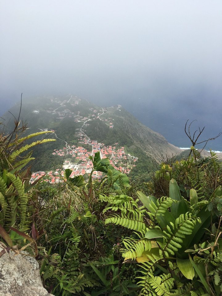
and St. Johns
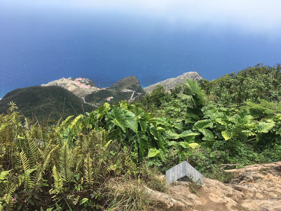
and for a time you can be the highest point in the Netherlands
Along the hikes we saw some special sights,
including Lake Saba
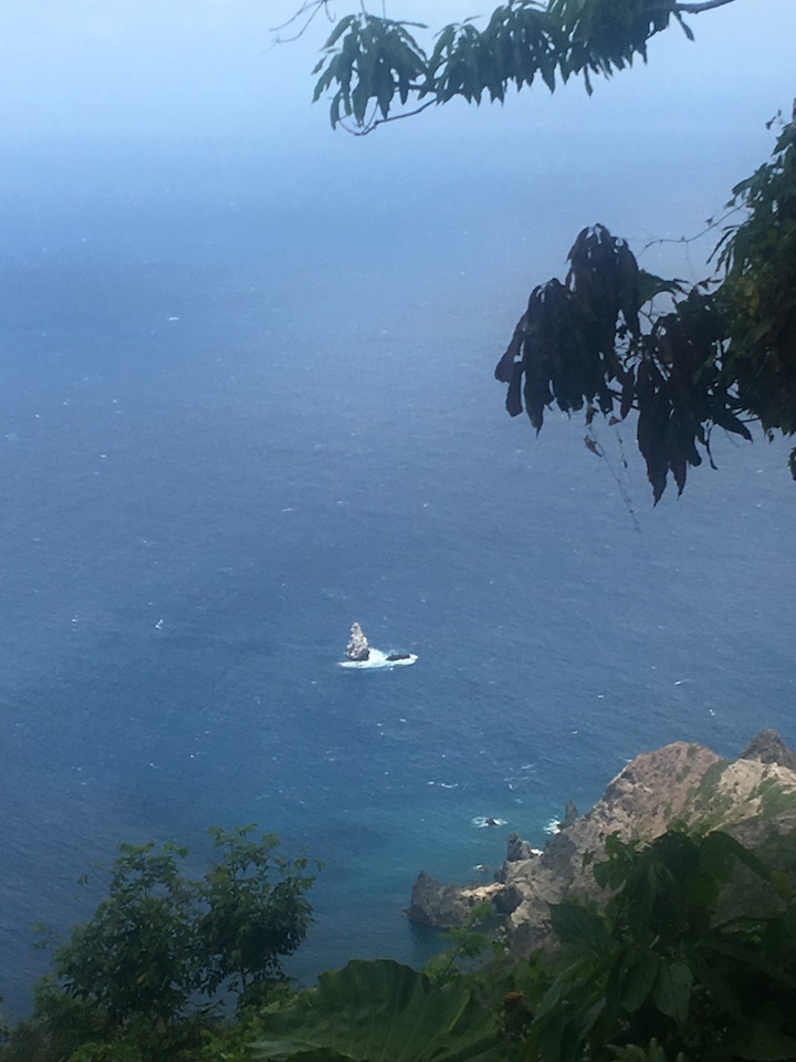
and Diamond Rock, a pinnacle which breaks the surface and which we have really enjoyed diving on (it's "diamond" due to the bird guano which turns it brilliant white)
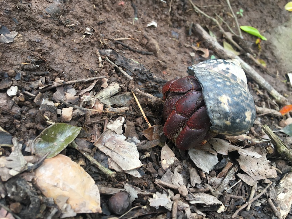
and this little Hermit Crab, found 1500 feet up the mountainside. How did it get there? It's a really really long walk and very rough.
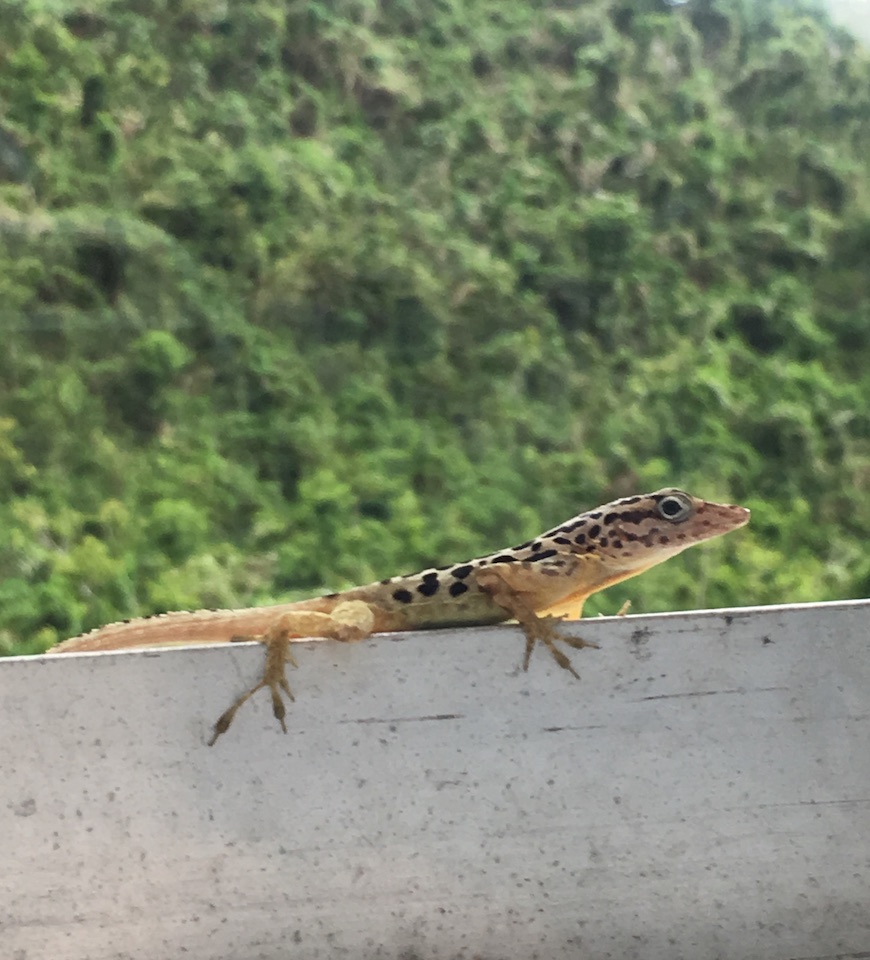
At the end of each hike, we'd return to our room and enjoy our roommate (Saban anoles are unique to Saba)